GPS is a highly accurate navigation system using signals from satellites to determine a location on the Earth’s surface, irrespective of weather conditions.
It is dependent on GPS satellites high above the Earth which transmit signals containing the time and location of the satellite. Any ground-based receiver which receives signals from four or more GPS satellites can use navigation equations to calculate its location on the Earth’s surface. Constant signaling can then update speed and direction information for moving receivers.
Surveying and mapping was one of the first commercial adaptations of GPS, as it provides a latitude and longitude position directly without the need to measure angles and distances between points.
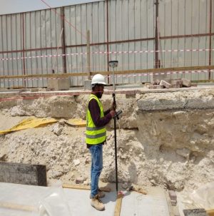
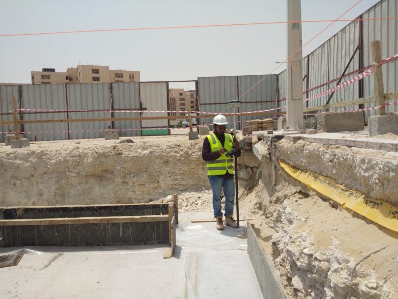
RBH.CO has specialized surveyors to help the Construction work for ensuring the position and storing a record data.
We have expert surveyor (approved by Qatar general electricity and water authority for a project) to ensuring the survey of site in aspect of marking the site of work and keeping record data with drawing.